Explaining cartography’s complexities
By kate on October 14th, 2021
During my time at Amazon, I found myself answering questions and dispelling assumptions about cartography on a regular basis. Eventually, I developed a 15-minute talk on the subject and gave it many times to engineers, designers, and managers. I also shared it at NACIS 2021 in Oklahoma City.
“Can’t You Just…”
As the only cartographer at my company, I often need to explain to colleagues what I do and why cartography is more complicated than they assume. I’ve developed an example-packed talk that teaches non-cartographers to better understand cartographic decision-making, including necessary trade-offs and the logical framework behind seemingly simple style choices. My NACIS talk will help cartographers better explain this complexity to others and challenge the assumptions behind questions that begin, “Can’t you just….”
Filed under: Uncategorized | Comment now »
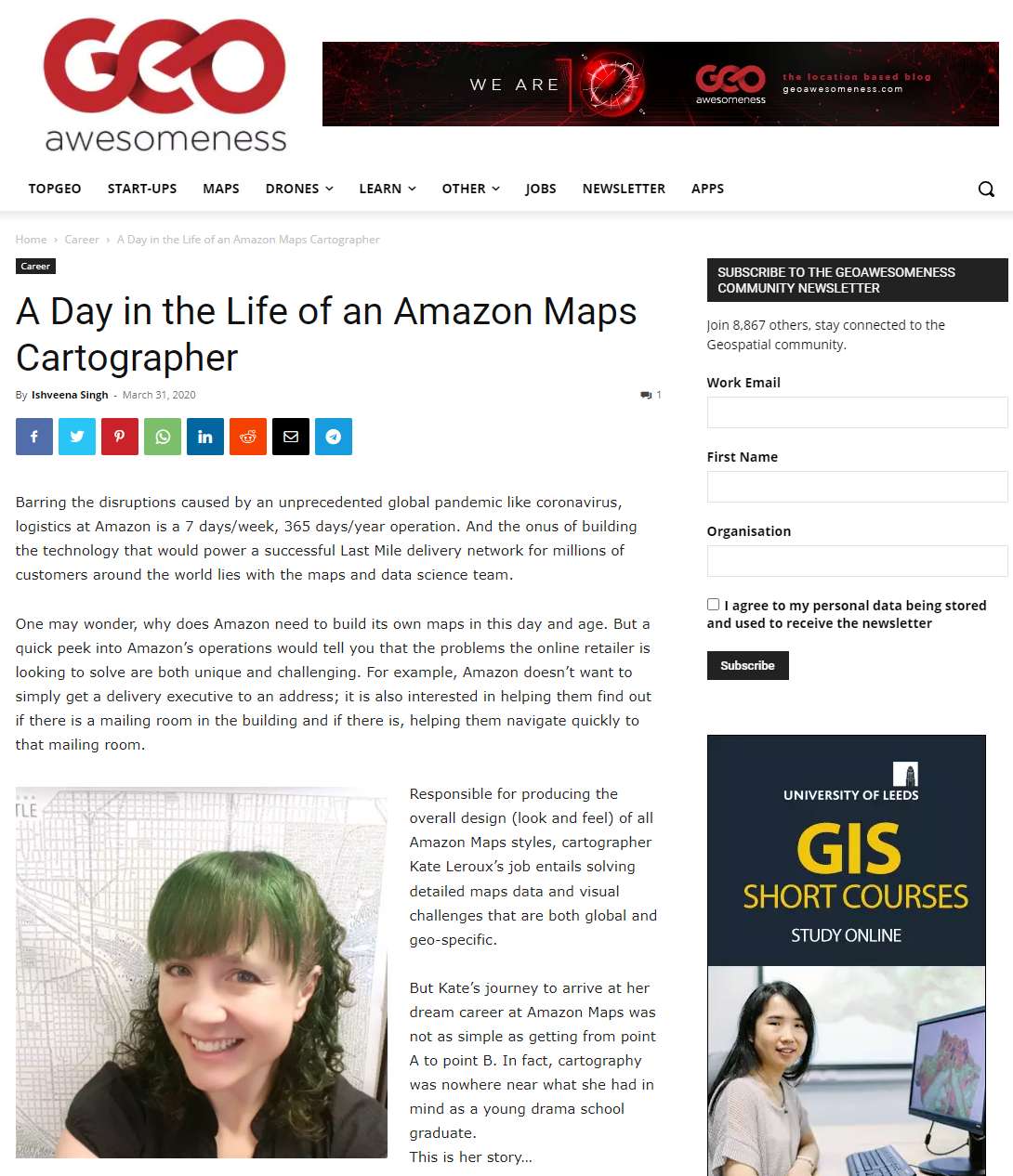
A Day in the Life of an Amazon Maps Cartographer
By kate on March 31st, 2020
I was interviewed by GeoAwesomeness about my work at Amazon. Read it here.
Filed under: work | Comment now »
Comparison of online print services
By kate on November 8th, 2019
This year, I created a follow-up project to the one on working with professional printers. I ordered a copy of the same cartographic image from 14 different online print services and compared the results. In my talk at the annual NACIS conference in Tacoma, I revealed the customer experience and print quality of each.
Someday My Prints Will Come:
Comparison of Online Print Services
You’ve designed a map and want a to print a small run to sell or distribute. There are many online companies clamoring for your business, but their services vary widely in areas like pricing, available sizes, texture, customer experience, and quality. How do you know where to order and what to expect? To answer this question, I ordered prints of the same cartographic image from over a dozen online printers. In my talk, I’ll share the resulting prints and what I learned.
Filed under: maps, technology, work | 2 Comments »
What to know about printing maps
By kate on January 24th, 2019
In October, I gave this presentation at the annual NACIS conference in Norfolk, VA. I designed and gave the talk, but the printing expert who provided the content (and a video cameo) was my late and greatly missed colleague Bruce Daniel.
Imprimatur: Printing Maps in Today’s Digital World
If you want to print a map, what do you need to know about printing terminology and methods? How much will it cost? What should you expect when working with a print company? How can you prepare your files to avoid costly corrections? Ultimately, how do you ensure that your map shines even more on paper than it does on the screen?
Filed under: maps, technology, work | Comment now »
Getting the most out of a conference
By kate on January 24th, 2019
In October, I gave this presentation at the annual NACIS (North American Cartographic Information Society) conference in Norfolk, VA.
Be a Cartography Expert in Three Easy Steps
How to give a presentation about a conference. Focused on this cartography conference but applicable to any conference.
Filed under: maps, technology, work | Comment now »
Cartography conference talk
By kate on November 19th, 2017
Last month, I gave a presentation at the annual NACIS (North American Cartographic Information Society) conference in Montreal.
The Journey from Raster to Vector Basemaps with ArcGIS
Esri customers are watching companies like Mapbox dazzle the cartographic world with vector tile mapping and wondering when the benefits of vector tiles will be within reach. Now they are! In late 2016, Esri removed the “beta” label from their vector tiles, and vector tiles can now be authored by anyone with ArcGIS Pro and published to ArcGIS Online. Vector tiles offer enormous promise: high-resolution graphics, client-side rendering, significantly smaller storage and bandwidth needs, and the ability to apply multiple styles to a single tileset. With all these benefits, what do you need to know before taking steps to leave your raster basemaps behind? I recently developed a vector tile basemap for the City of Seattle, and I’ll share what I learned, good and bad. Topics include: paradigm shifts in basemap organization; technical details; best practices; workflow; advice on working efficiently; and lots of tips, tricks, bugs, and stumbling blocks.
Filed under: maps, technology, work | Comment now »
| « Previous Page |


Contact
Recently Read


