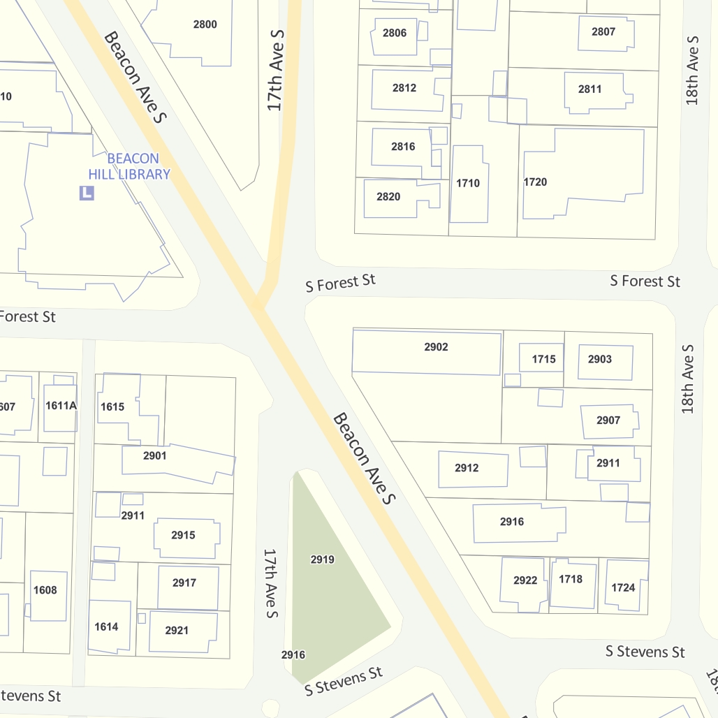
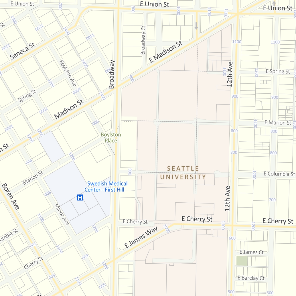
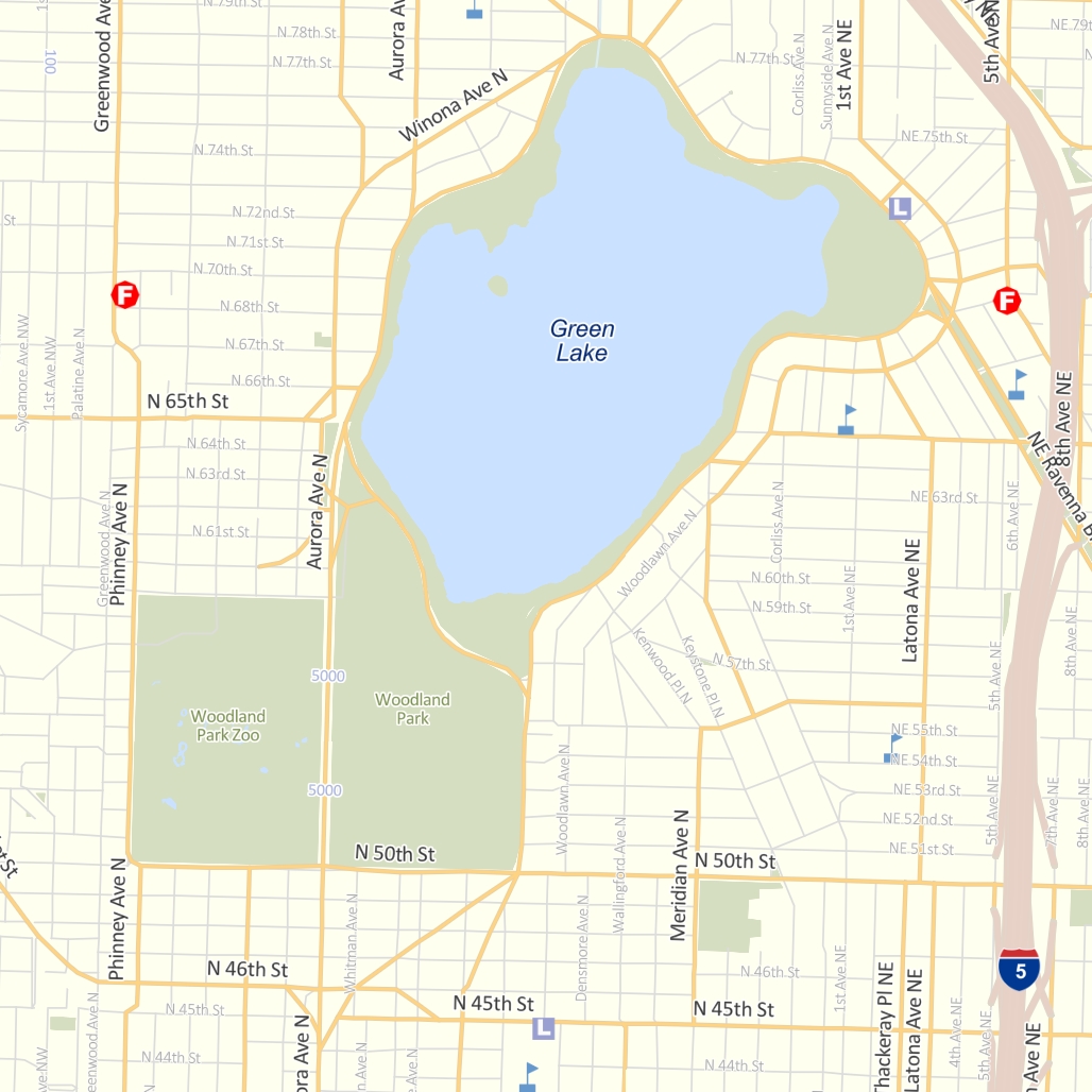
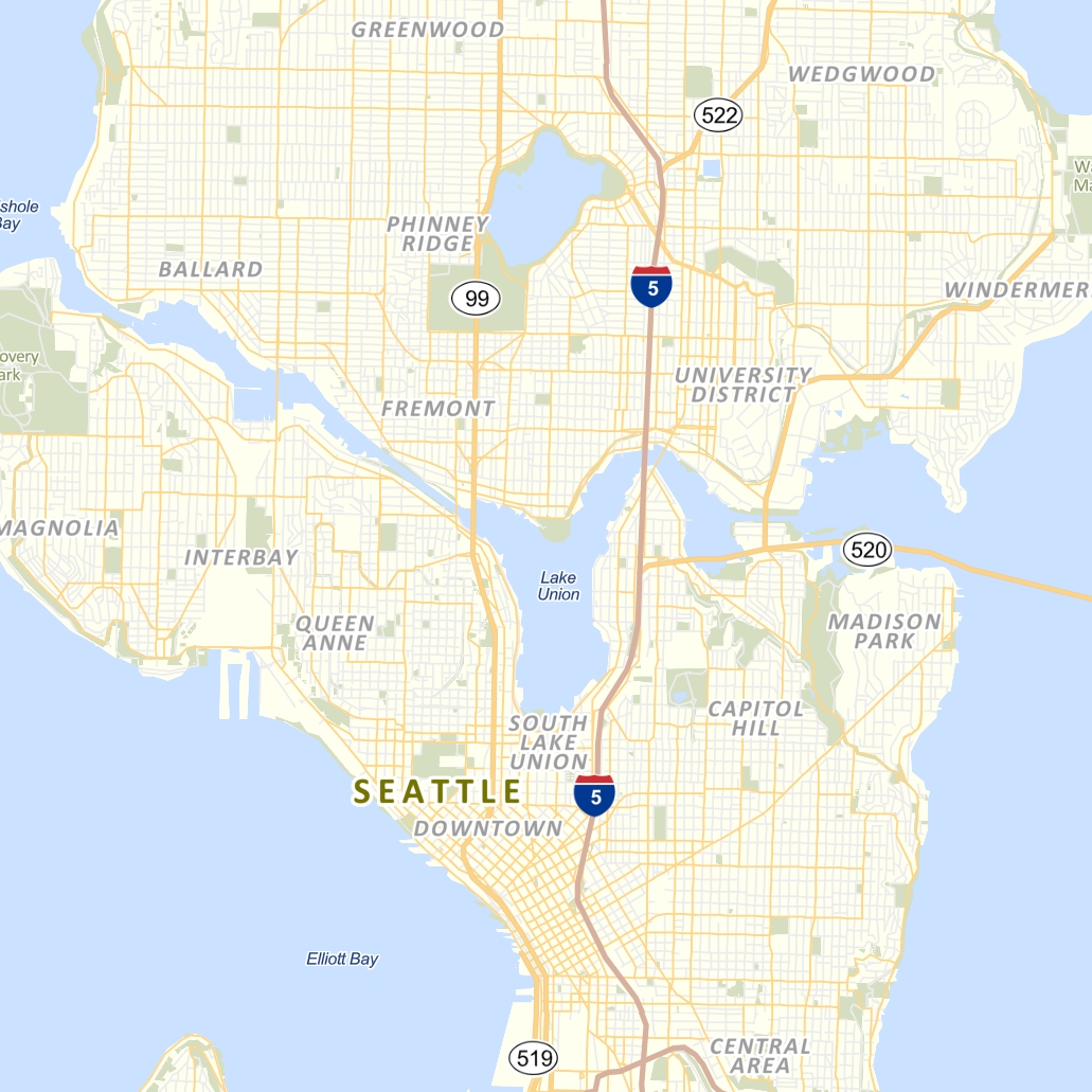
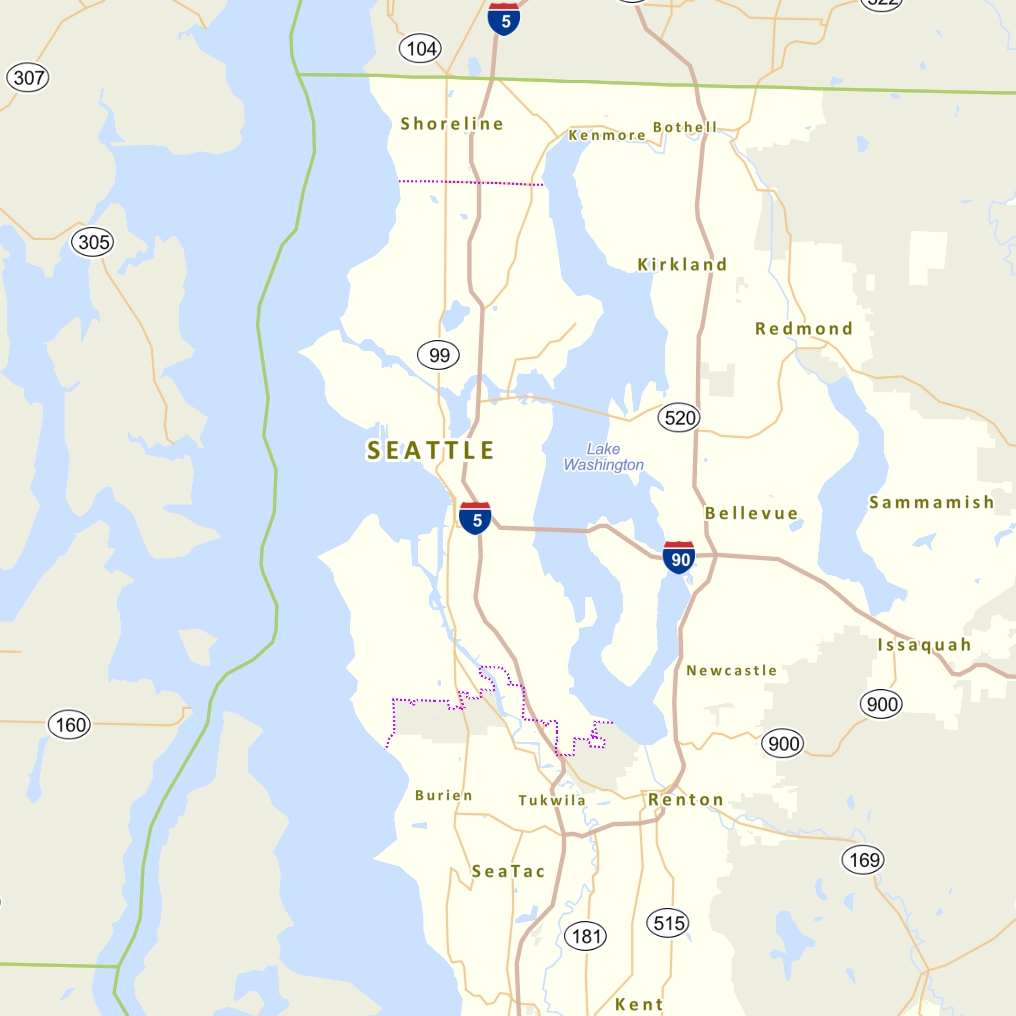
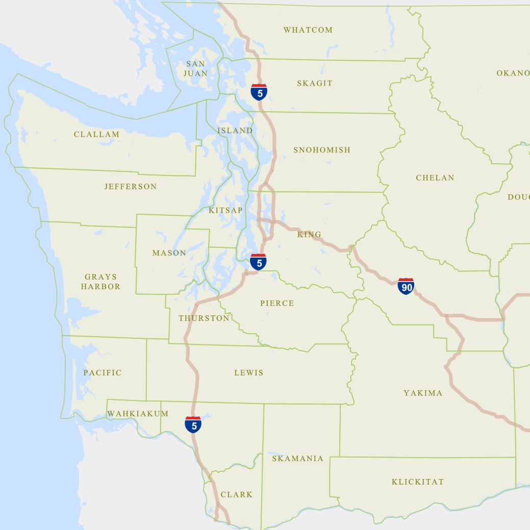
As soon as Esri released vector tiles, I taught myself how to create, publish, and manually style them. I then created a vector tile version of the raster basemap I maintained for the City.
At the 2017 Washington GIS Conference (URISA), I gave two presentations about what I learned: one on how to style existing vector tile maps, and one on how to create a vector tile map in the Esri platform.
I gave the latter presentation again in October 2017 at the annual NACIS (North American Cartographic Information Society) conference in Montreal.
The Journey from Raster to Vector Basemaps with ArcGIS
Esri customers are watching companies like Mapbox dazzle the cartographic world with vector tile mapping and wondering when the benefits of vector tiles will be within reach. Now they are! In late 2016, Esri removed the “beta” label from their vector tiles, and vector tiles can now be authored by anyone with ArcGIS Pro and published to ArcGIS Online. Vector tiles offer enormous promise: high-resolution graphics, client-side rendering, significantly smaller storage and bandwidth needs, and the ability to apply multiple styles to a single tileset. With all these benefits, what do you need to know before taking steps to leave your raster basemaps behind? I recently developed a vector tile basemap for the City of Seattle, and I’ll share what I learned, good and bad. Topics include: paradigm shifts in basemap organization; technical details; best practices; workflow; advice on working efficiently; and lots of tips, tricks, bugs, and stumbling blocks.